


ABOUT US
T-Labs is the R&D department of Deutsche Telekom focusing on translating new technology trends and delivering tangible results into Deutsche Telekom’s innovation portfolio. Our current research areas are: Quantum Networks, Technology Exploration, Network Security. #Co-Research is the key mission for the team, with the vision of achieving a superior customer experience and exploring disruptive technologies for future telecommunications infrastructures. From our base in Berlin we are cooperating with multiple universities in Germany, Europe, Israel and globally.
Quantum Networks
Telecommunications networks belong to the most complex structures in modern industrial societies. The techno-economic evolution of these networks along the principles of decentralization, disaggregation and automation defies classical deterministic system analysis. It is driven by technological progress, notably the emergent world of quantum computing. Consequently, mastership of data-driven algorithmic approaches for optimized operation and preemptive cybersecurity in telecommunication systems become more and more important and must be achieved by large-scale operators such as Deutsche Telekom. This competence area is denoted as Artificial Intelligence. Its application to well-defined techno-economic contexts such as Open RAN, cybersecurity, quantum technology and radio network technology of the next generation (“6G”) is in the focus of T-Labs.
Technology Exploration
As digital technologies rapidly advance, Deutsche Telekom stands at the forefront of an industry-wide transformation. Central to our strategic vision is the integration of artificial intelligence technologies, which is becoming increasingly vital for telecom providers. It presents a crucial impetus for us to adapt our business models and undertake a comprehensive reevaluation of our network architecture. Embracing these challenges head-on, we are pioneering a future where our infrastructure meets the escalating demands of our customers with agility and resilience. Our Technology Exploration tribe research on AI-driven solutions that promise enhanced efficiency, predictive maintenance, and personalized customer experiences.

Network Security
The research area Network Security focusses on creating a powerful scientific toolkit for studying the most pressing issues of future telecommunication networks: Security, Efficiency, Stability and Complexity Management. To address those issues, we develop Digital Network Twin tools to investigate various questions, ranging from network resource optimization to aggregate energy consumption optimization.
Digital Network Twins furthermore support overarching and preemptive Network Security approaches. To be specific, we aim at leveraging the recent revolutionary progress in Generative AI for Network Security functionality.
TEAM
Experts and scientists from a wide variety of disciplines, as well as young entrepreneurs, from more than 25 nations all work together at T-Labs.


CO-RESEARCH ECOSYSTEM
Based on our mission, T-Labs is researching on future oriented topics in particular using the opportunities generated by the cooperation with universities, research institutes, startups and industry partners.
Since 2004, the Technische Universität Berlin (TU Berlin) and Deutsche Telekom came together to establish an university-affiliated institute, Telekom Innovation Laboratories (T-Labs), as part of a public private partnership. The object of this partnership has been to carry out joint research in information and communications technology, and digital innovation.
Furthermore, T-Labs is engaged in a number of additional research cooperation with dedicated endowed chairs in Germany, in Europe and beyond. Our network of major university partnerships include: Technische Universität Berlin, Technische Universität Dresden, CODE University of Applied Sciences (Berlin), Eötvös Loránd Universität (Budapest), Technische Universität Wien and Ben-Gurion-Universität des Negev (Israel).
T-Labs is bringing experts from Deutsche Telekom, together with scientists from various national and international universities and research facilities, on a project basis, to develop innovative solutions for the near and long-term future.
In Germany, these research cooperation span a nation-wide network across most of the “Excellence Universities” to form a technology cluster dedicated to specific topics. A concrete example is the 5G Co:Creation Lab set with industry Partners as part of the NRW Tech Cluster, with Technology & Arts TH Köln & University of Köln.
With the aforementioned project partnerships, endowed chairs, and joint ventures on a national and European level, Deutsche Telekom is making an active contribution to the realization of commercial projects, to the transfer of technology, and to innovation marketing.
EVENTS
Girls Day 25.04.2024


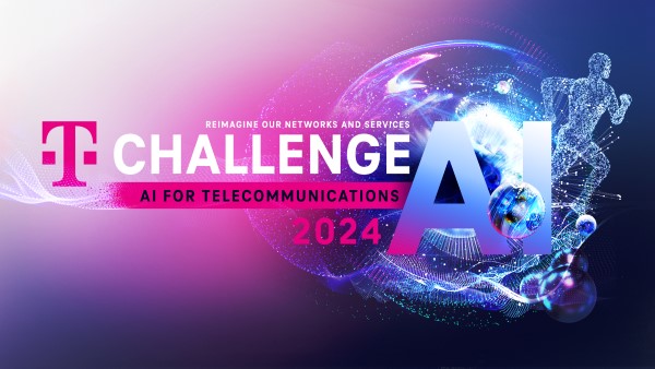
T-Challenge Award Show 10. – 11.06.2024
Berlin Open RAN Working Week + i14y Lab Summit 10. – 12.09.24

CONTACT
Deutsche Telekom AG, T-Labs
Winterfeldtstraße 21
10781 Berlin, Germany
t-labs.info@telekom.de
SOCIAL MEDIA
Live content from the core of T-Labs.
This is what’s happening here and now.
Follow @T_Labs